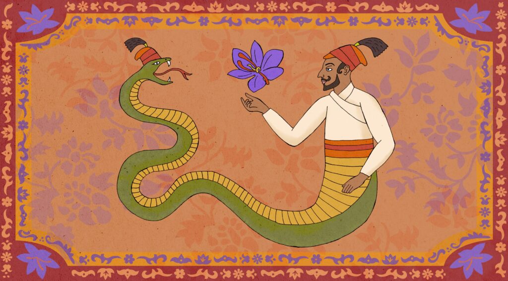


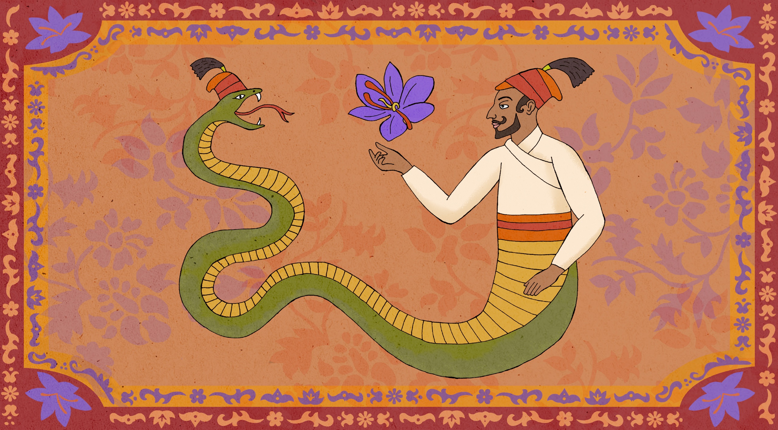
Sacred threads of saffron: Kashmir’s struggle to protect the world’s most expensive spice
Saffron production in Kashmir is at an all-time low. In the push and pull between traditional practices and modern methods endorsed by the government, Kashmir’s most coveted crop is losing out to climate change and unplanned urban development.
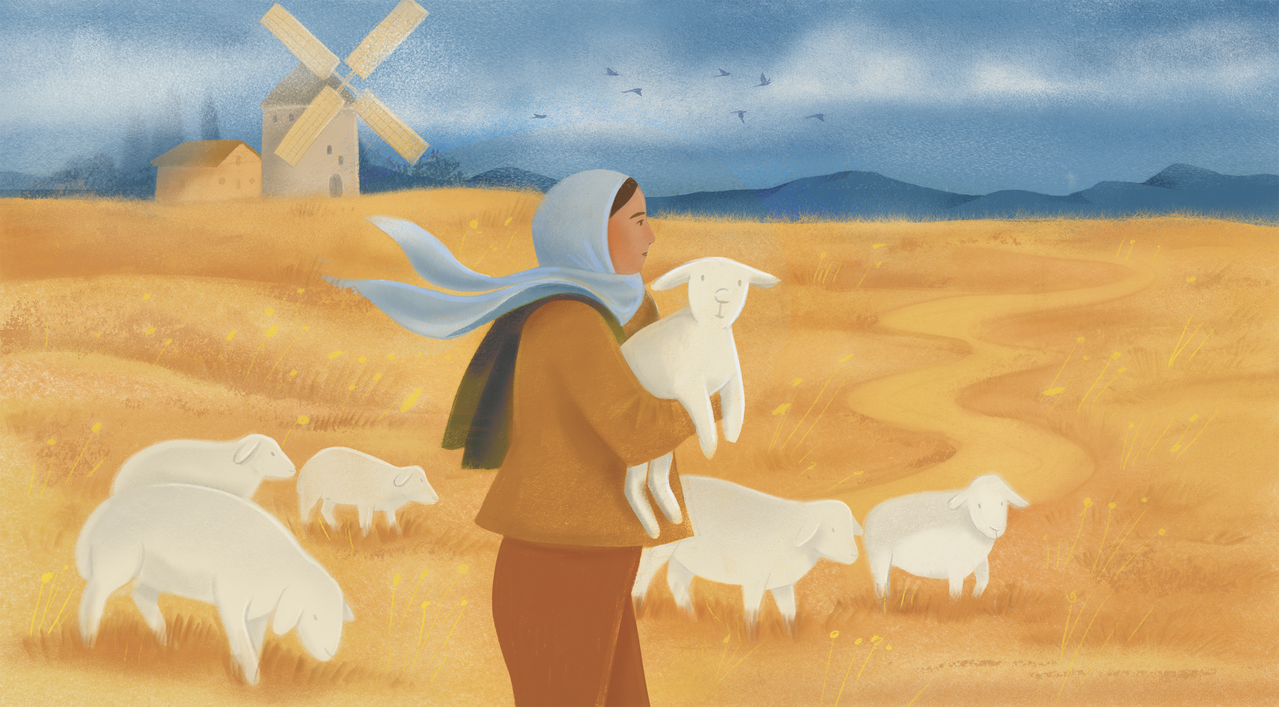
Shepherdesses smashing stereotypes: The women reviving ancient traditions for a sustainable future
Shepherds and their flocks are integral to the history of European culture and ecology. Now, a new generation of pastoralists – from migrants escaping underpaid care work, to science graduates looking for tangible ways to protect the planet – are rewriting patriarchal traditions to preserve it for the future.

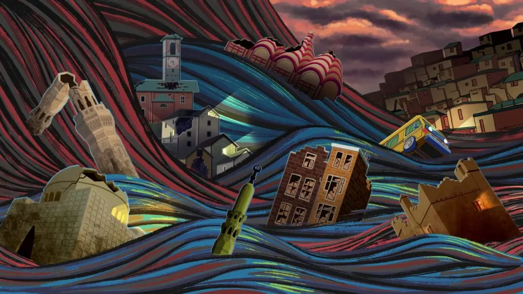
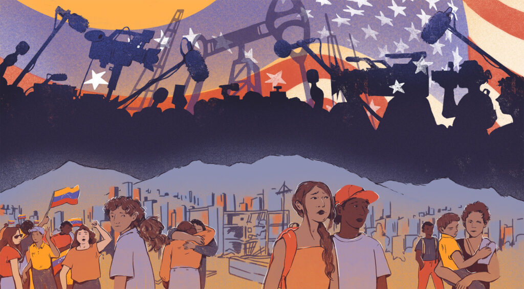
Venezuela without Venezuelans
As bombs fall and power shifts, Venezuela is reframed as a geopolitical case study, while the voices of those living through the crisis are pushed aside. The gap between global commentary and lived reality turns human crisis into abstraction and exposes what is lost when journalism explains power while erasing the people who endure it, writes Gabriela Ramirez.
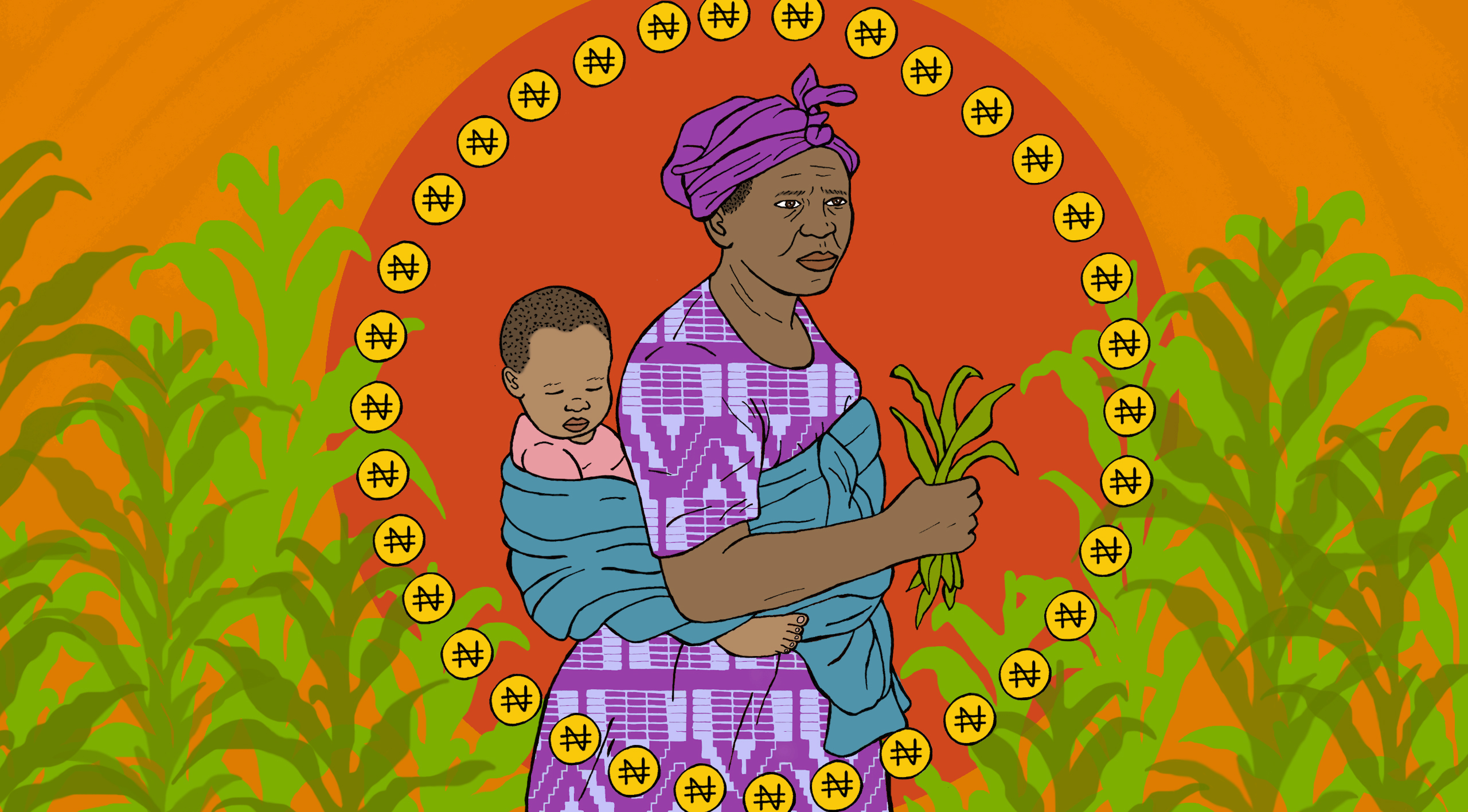
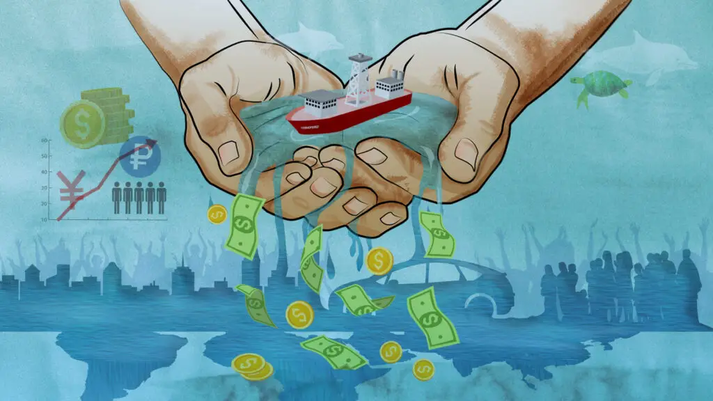
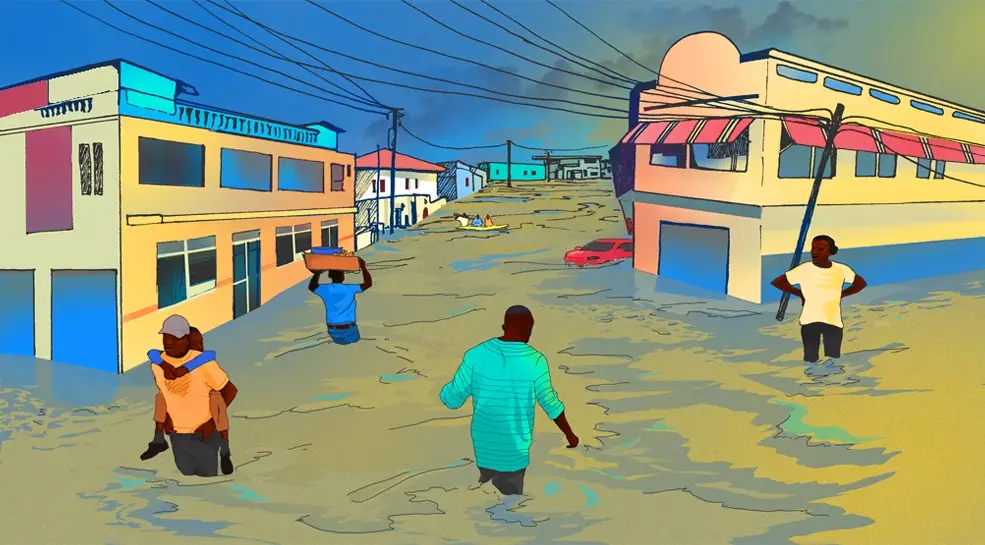
Nigerian women farmers trapped between climate shocks and microfinance debt
Microfinance loans were meant to offer a pathway out of poverty in countries like Nigeria, particularly for women. But as climate change makes weather patterns more unpredictable, the risk of falling into further debt falls onto the shoulders of women farmers who face not just erratic farming conditions but social stigma from default.
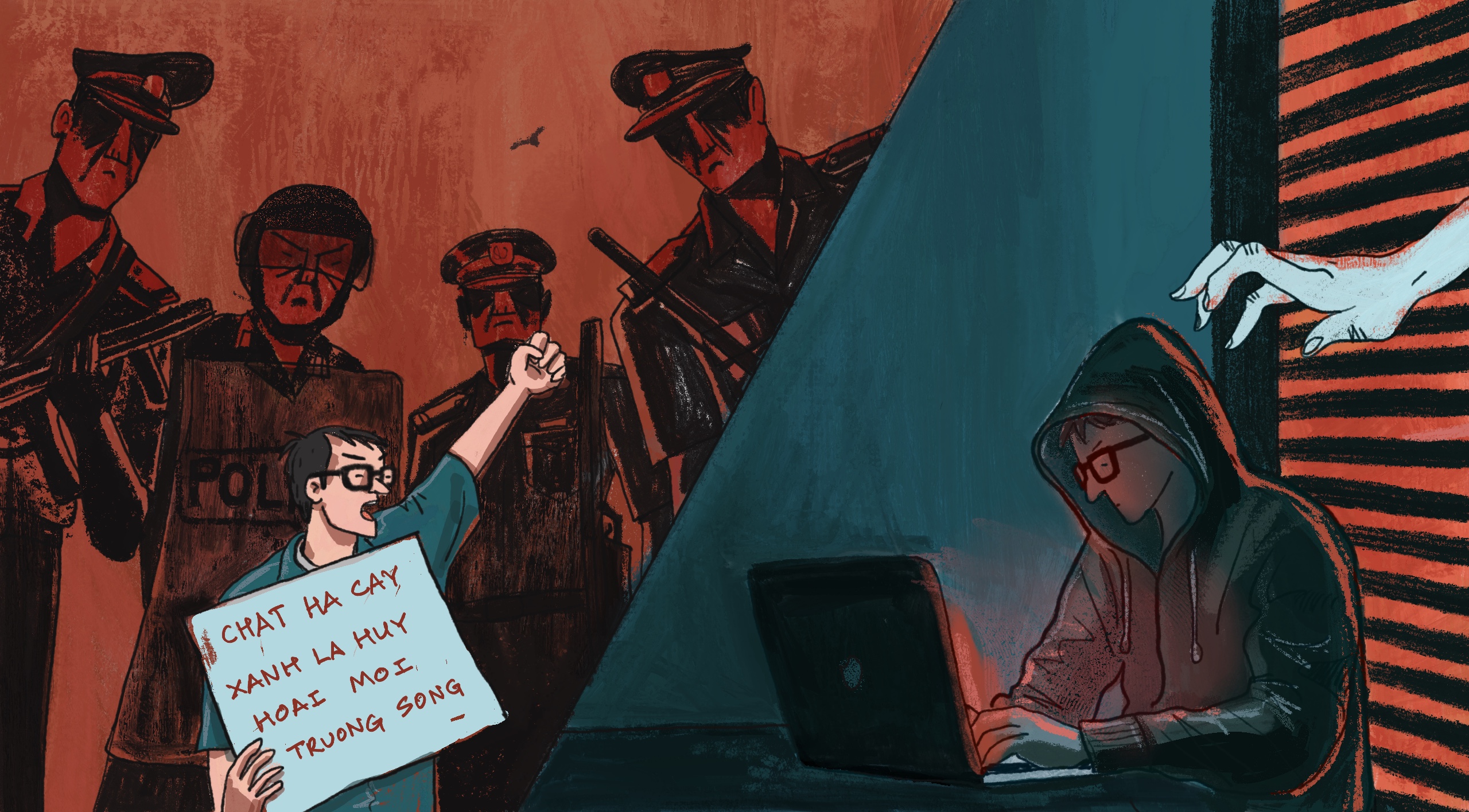
Vietnamese activists’ dilemma: Go public and risk reprisals, or go undercover and go it alone
Arrests of high-profile campaigns suggest that even those working on government-approved green initiatives with international backing aren’t safe from Vietnam’s crackdown on environmental activism. But some warn that staying below the radar can be even more dangerous.